Photos of Lake Tarpon
Click on each photo for a larger one
Also check out photos of the
Outfall Canal area, from the
Tampa Tribune and the lake maps.
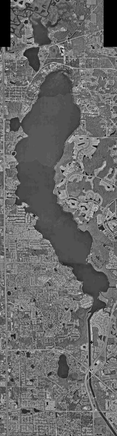 Circa
1997 composite made from segments from the Pinellas
County Property Appraiser. North is at the top.
Circa
1997 composite made from segments from the Pinellas
County Property Appraiser. North is at the top.
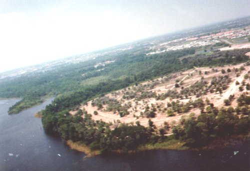
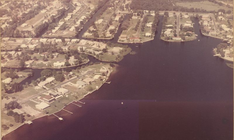 Circa 1975 looking
East over Little Dolly Bay
Circa 1975 looking
East over Little Dolly Bay
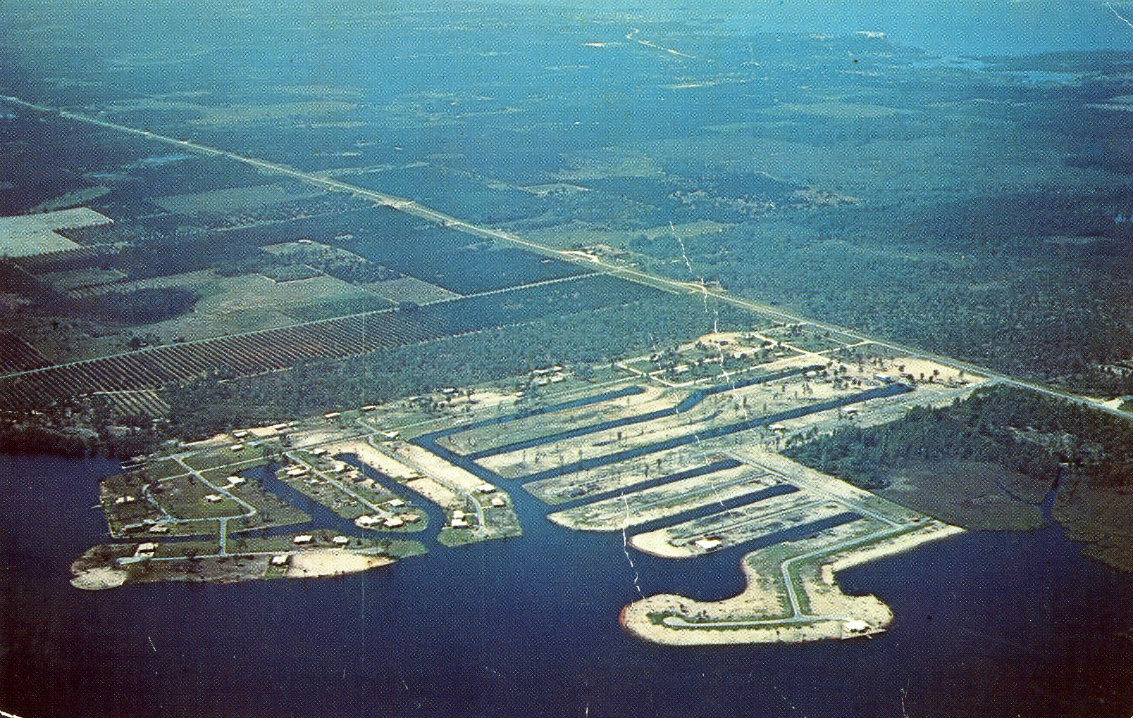
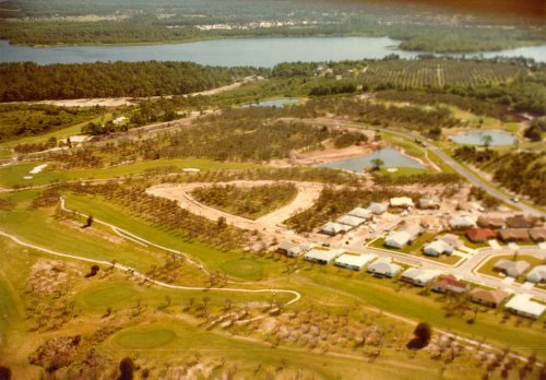 1983 early Lansbrook Development
 1983 Facing Southwest - Gulf of Mexico is at the top. North of Lake Tarpon end on
left, Salt Lake just to the right of Lake Tarpon, and the Anclote River on the right.
1983 Facing Southwest - Gulf of Mexico is at the top. North of Lake Tarpon end on
left, Salt Lake just to the right of Lake Tarpon, and the Anclote River on the right.
 1983 - East end of Highland Lakes, facing Southwest. South cove on the left.
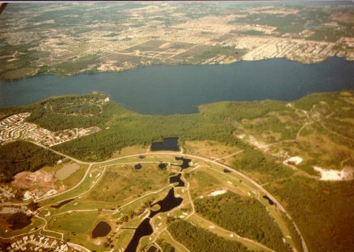 1983 - Lansbrook, facing West.
![]() 1983
composite photo, facing West.
1983
composite photo, facing West.
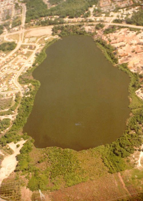 1983 Lake George. Facing south. Tampa Road is at the top.
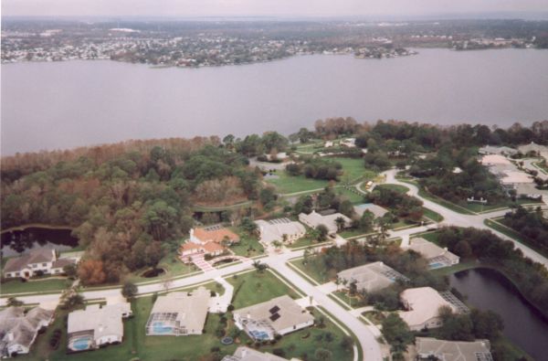 1998
Southern Lansbrook, facing west. Gulf of Mexico is at the top.
1998
Southern Lansbrook, facing west. Gulf of Mexico is at the top.
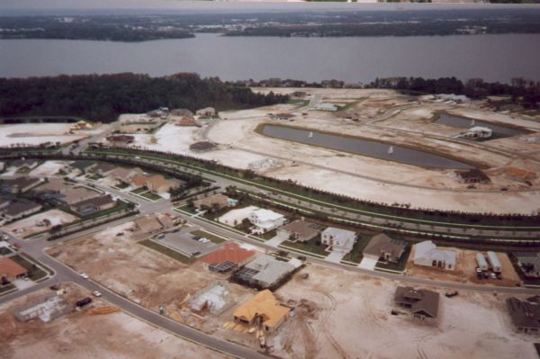 1998 Northern Lansbrook construction, facing West.
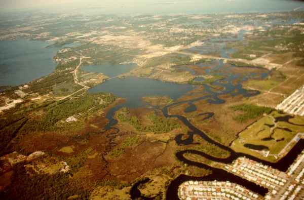
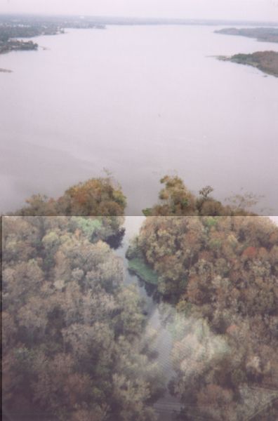 1998 - Brooker Creek mouth, looking north.
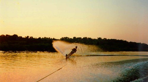 A skier enjoying the world-class conditions provided by the outfall canal before it became
a no wake zone.
A skier enjoying the world-class conditions provided by the outfall canal before it became
a no wake zone.
All pages are copyright 1993, 1997, 1998 Paul Kempter unless otherwise credited. Please ask to use photos - they contain watermarks.